A Level Geographers Forage at Countryside & Coast Alongside Bootham
The Cranedale Centre in Kirby Grindalythe – a village in the heart of the picturesque Yorkshire Wolds – was the base for the annual College 1 Geography residential again this year.
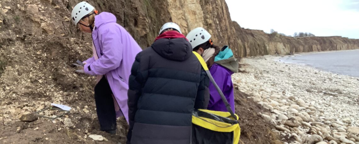
Pupils undertook sediment analysis at Sewerby and determined the processes that have shaped the landscape of East Yorkshire, alongside fellow A Level Geographers from Bootham School.
Day one began in Dalby Forest comparing the Water and Carbon cycle in a moorland and forested ecosystem. A variety of skills were honed, including sampling techniques, soil moisture content, plant species identification and carbon water content and understanding, of which is vital to mitigate climate change.
Day two involved an exploration of the rural Yorkshire landscape. Using maps and first-hand observations the students were able to interpret the landscape and to visualise what the area would have looked like at the end of the last ice age. Evidence of the impacts of the ice are still visible in the Yorkshire landscape today, most notably in the new course of the river Derwent.
The geographer’s final day was spent measuring geology in Scarborough.
Pupil, Berlin, said:
“It was very interesting taking my geographic knowledge out of the classroom and applying it to real-life situations. With the help of the Cranedale staff, we were able to construct a variety of investigations on the physical geography of a beautifully preserved rural area.”
Previous Story – Sports Psychologist visits A Level Psychology